Surveying and Drawing Laboratory
📍 Specialized Archaeological Services
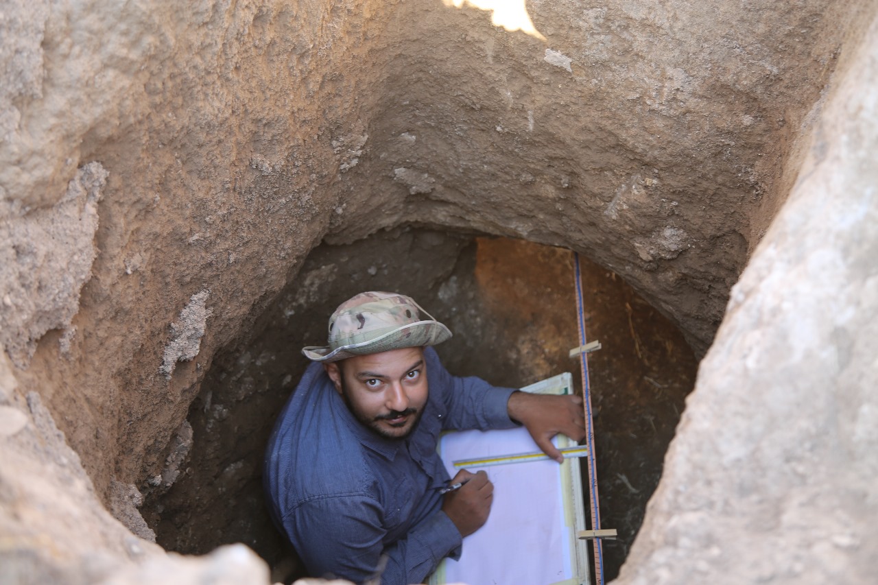
The laboratory provides a comprehensive suite of high-precision services dedicated to archaeological documentation, geospatial mapping, and site management:
✨ Detailed archaeological illustration of artifacts.
🏛️ Architectural site drawings and 3D modeling.
🗺️ Precision grid plans and topographic mapping.
📐 High-accuracy detailed excavation maps.
Land Surveying Instruments
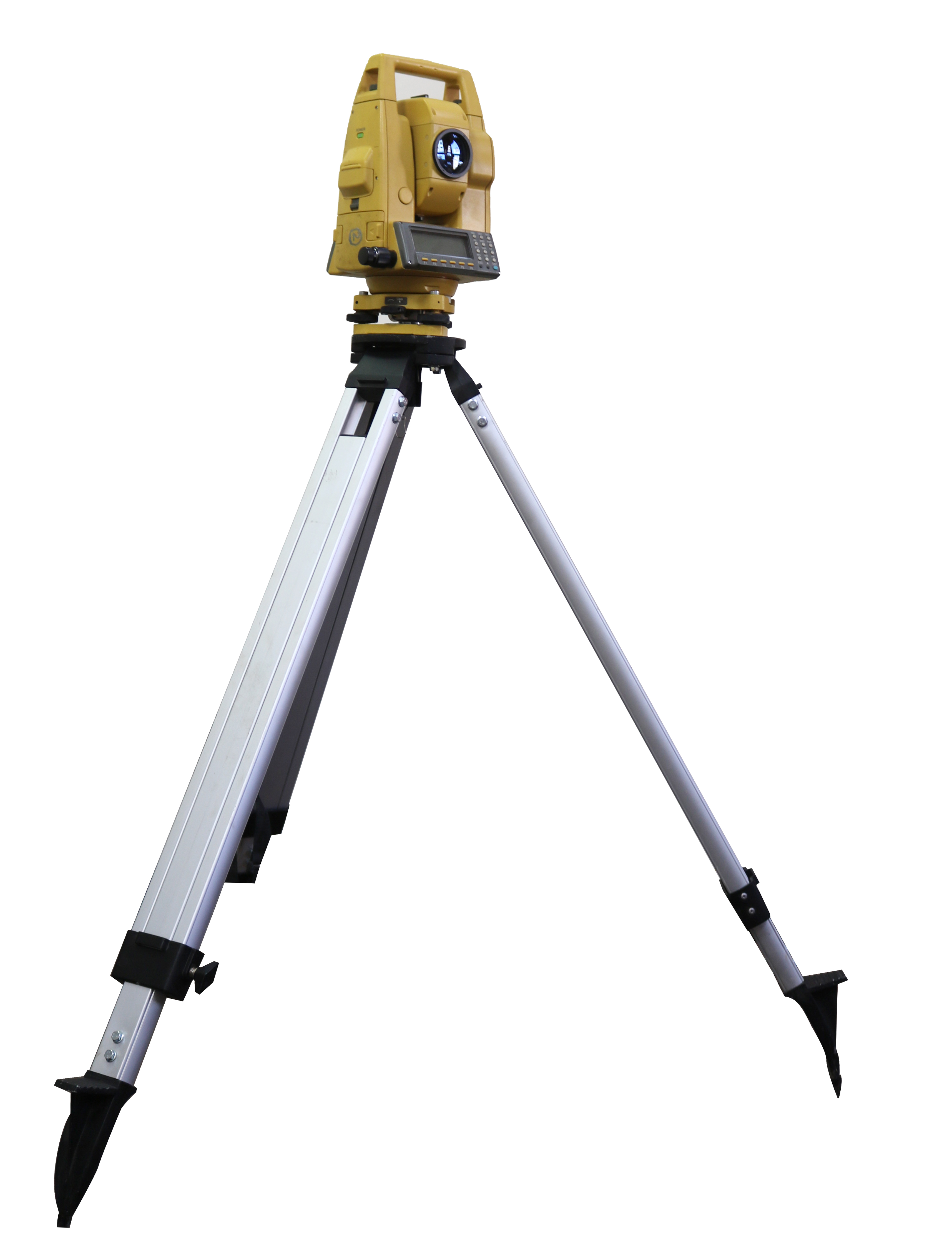
1. Total Station
TOPCON - GPT6001C
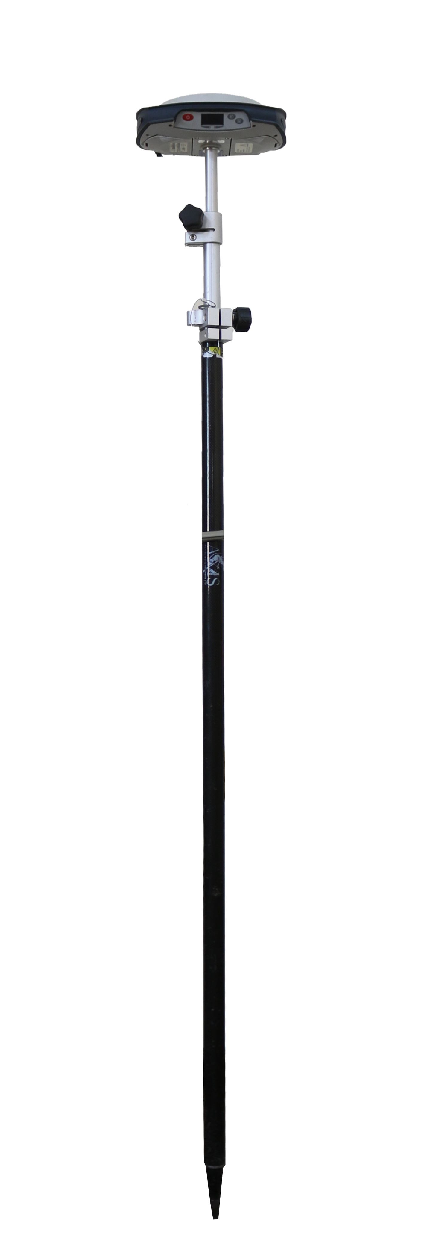
2. RTK Positioning
Spectra SP-80
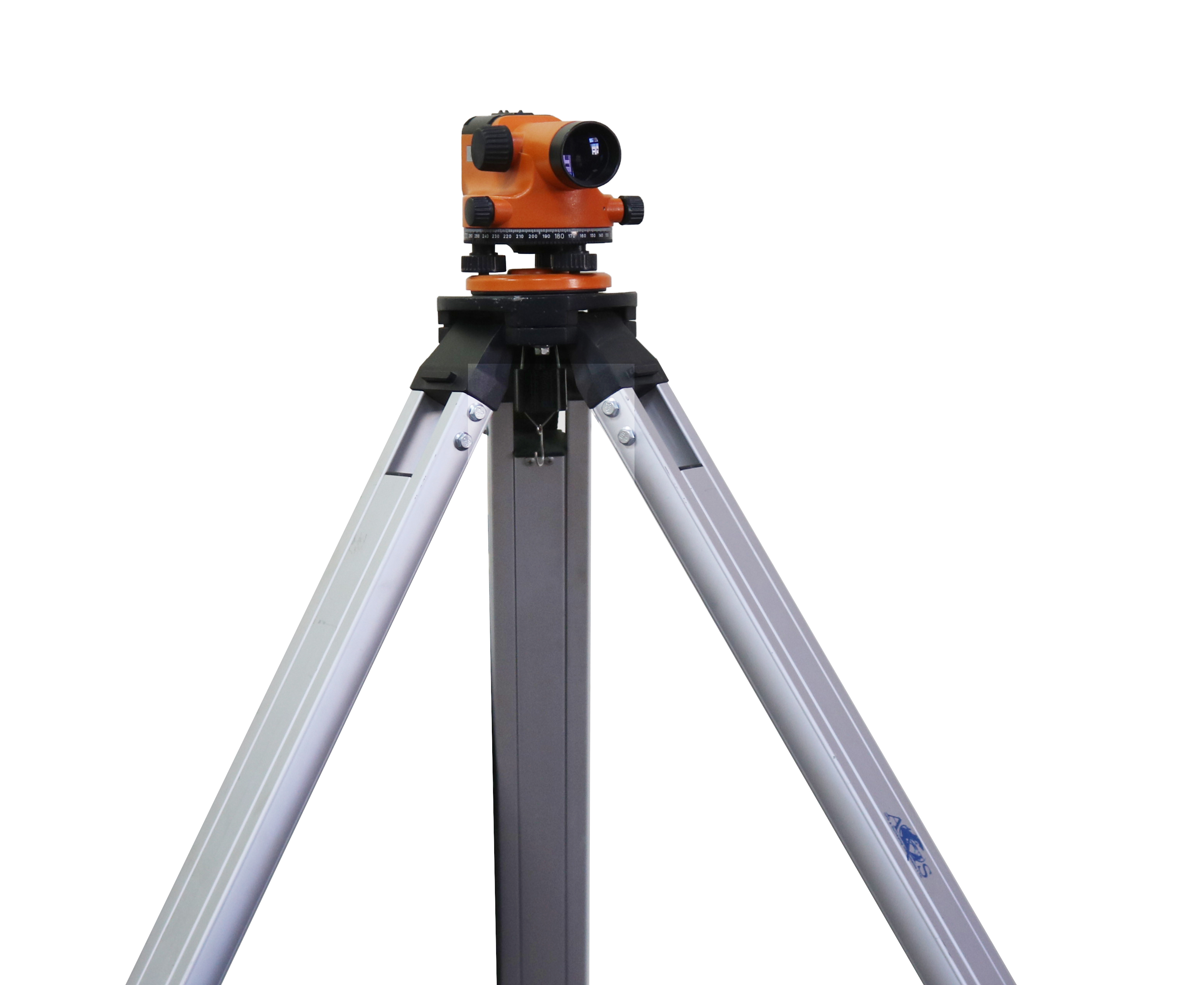
3. Dumpy Level
Optical Leveling Tool
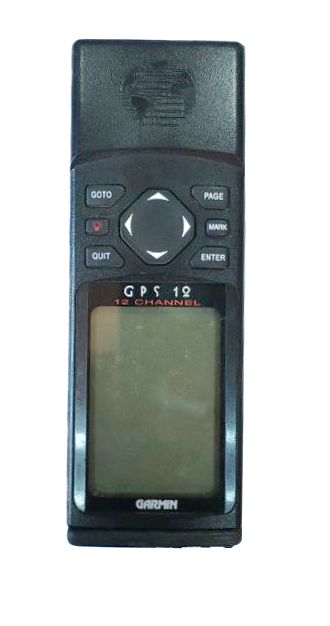
4. Personal GPS
Garmin 12 Series
Contact Information
Eng. Waleed Abu Al-Hayja
Laboratory Supervisor
EMAIL This email address is being protected from spambots. You need JavaScript enabled to view it.
PHONE +962 2 7211111 (Ext. 4279)